Target Geoscience
Precision.Exploration.Innovation
Target Geoscience
Precision.Exploration.Innovation
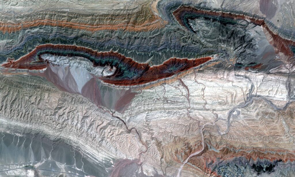
Proven Expertise in Action
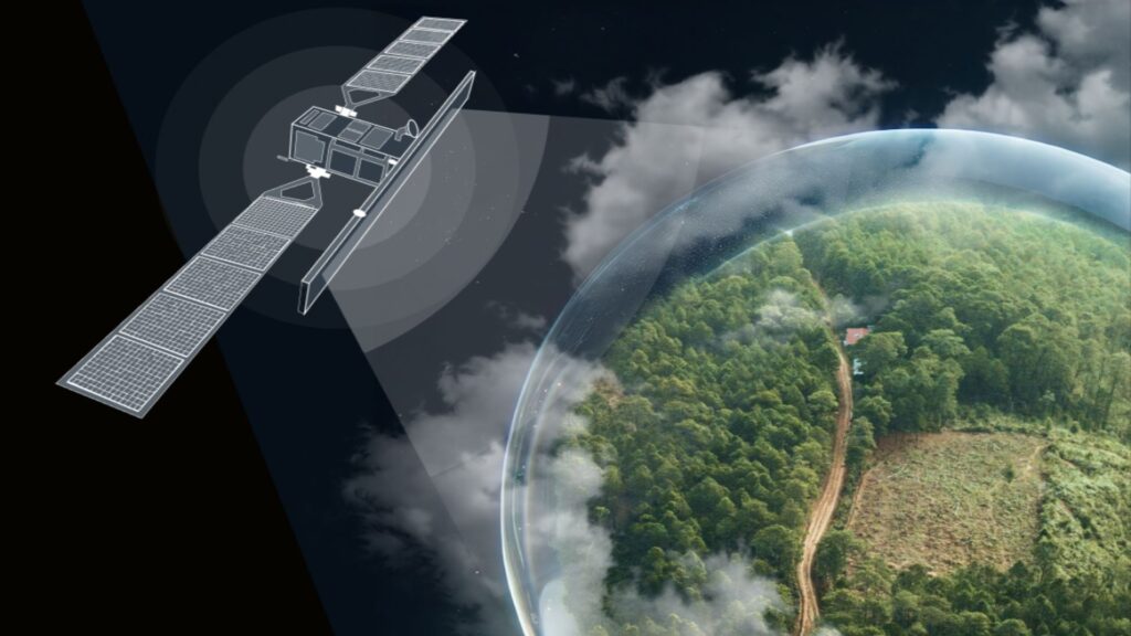
Our comprehensive approach to leveraging satellite imagery and remote sensing data enables us to unlock valuable insights and drive innovation across sectors ranging from mineral exploration to land use, urban planning and environmental management